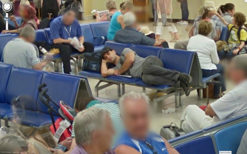
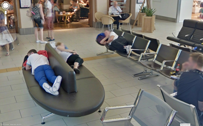
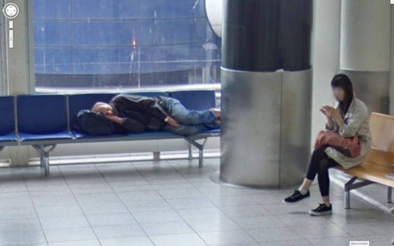
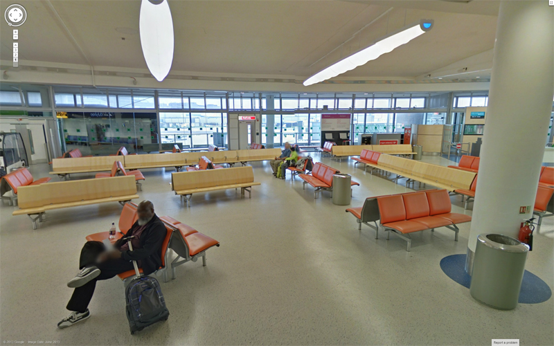
Just when you thought it was safe to have a quiet nap before you’re next flight, up pops one of those Google Street View cameras and captures you in all your snoring glory.
Yep, the inevitable has happened as Street View has now mapped the insides of one of the busiest airports in the world – London’s Gatwick.
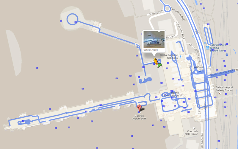
Airport managers have utilised Google’s Indoor Street View to map the insides of the North and South Terminals – and with more than 2,000 stitched images provide its 34 million passengers with a virtual tour.
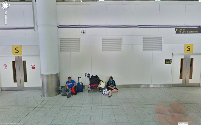
While the tour takes you through check-in areas, departure and arrival halls, shops and restaurants, it’s only human nature for us to look at people caught off-guard, yawning, sitting on the floor and even sleeping on some very comfortable chairs.
It is a fascinating virtual trip that enables visitors to pinpoint key areas of the sprawling hub and a high-tech way of helping passengers make the best use of their time – or enabling them to find the best place to sleep during an overnight stopover.
Visitors can access interactive indoor maps of Gatwick with a tablet, smart-phone, IOS or computer by logging onto the Google Maps website or via the newly redesigned Gatwick website.
The mapping of the airport is the largest yet in Europe and part of Gatwick’s £1.2 billion investment programme to improve the passenger experience.
While we were able to spot some passengers chasing their beauty sleep in the airport, many were staring at their mobile phones: no doubt, reading the London Gatwick airport reviews on the SleepingInAirports web site or trying to avoid Google’s Street View cameras!
Photo credits: All images are Google Street View screenshots.

